
First we went by car to Dombås, and traveled by train from Dombås to Røros.
On Støren we had to change trains.
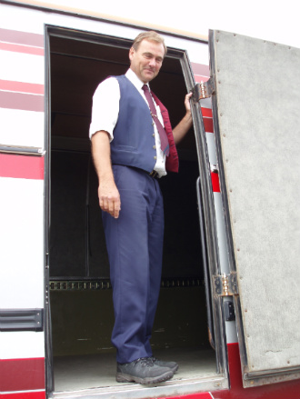
This helpful driver from Gauldalen Billag, the bus-company in Røros, drove two extra km to give us lift to the border.
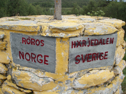
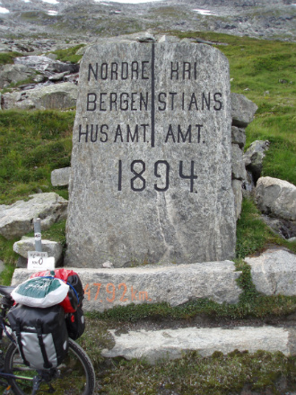
This old monument marks the border between Norway and Sweden.
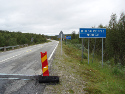
Start at the border
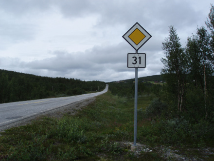
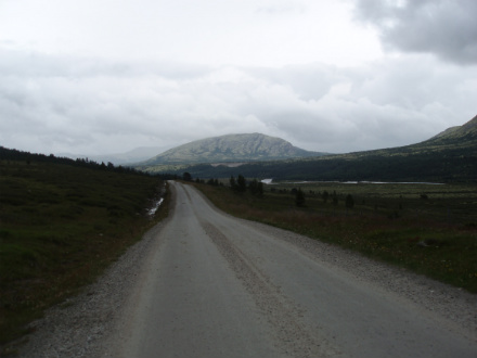
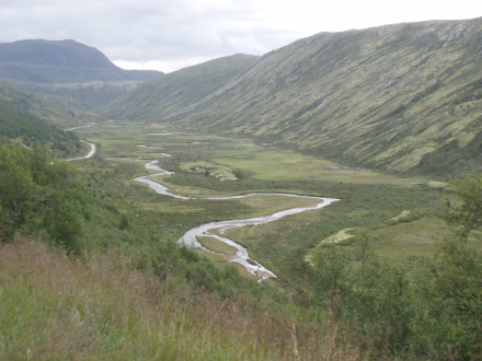
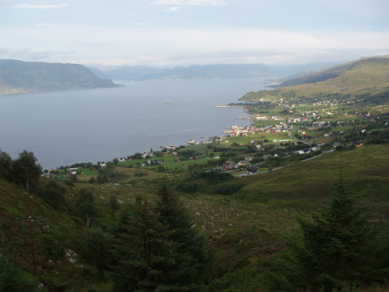
RV31 from border to Røros
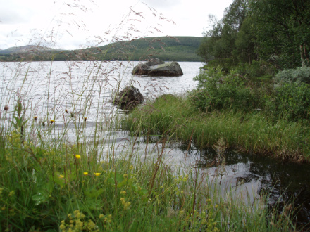
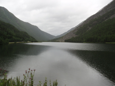
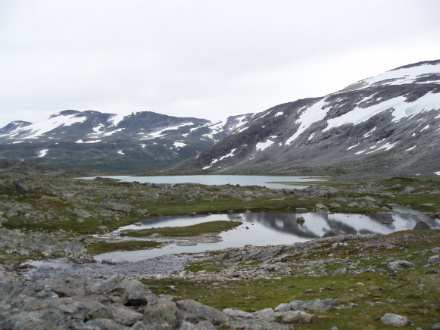
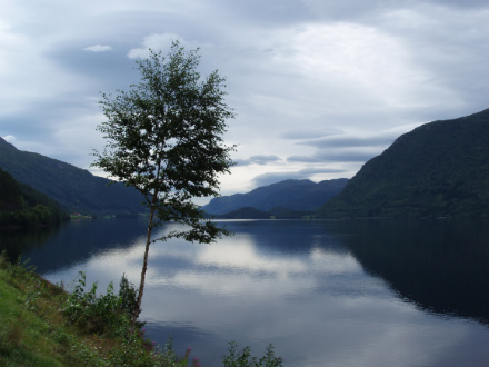
By another lake we passed
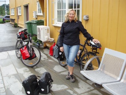
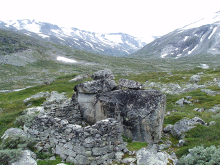
Soon the first stage finished
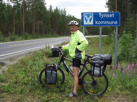
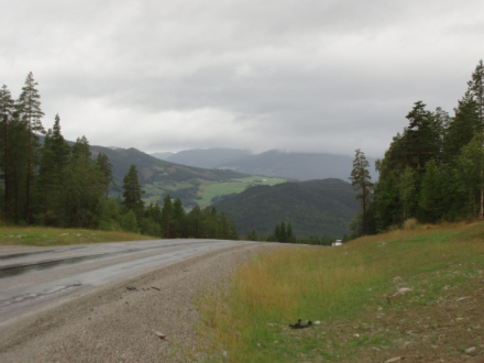
The day after on the way to Tynset
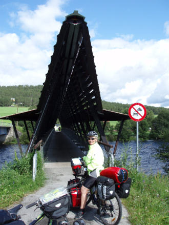
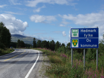
Bridge by Os
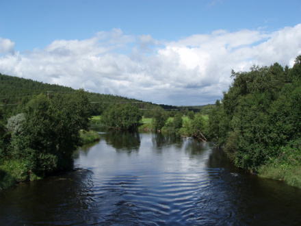
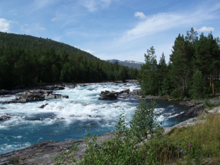
Beatifully by the river
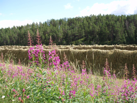
"Hesjer", so the hay was dried in the old days here in Norway.
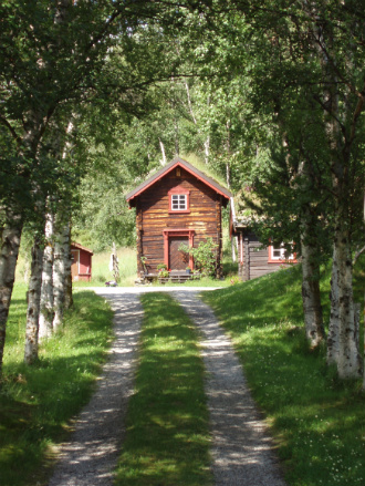
Place to dream about
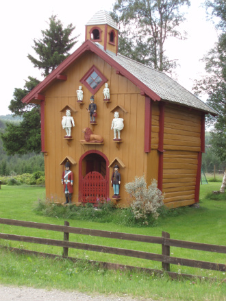
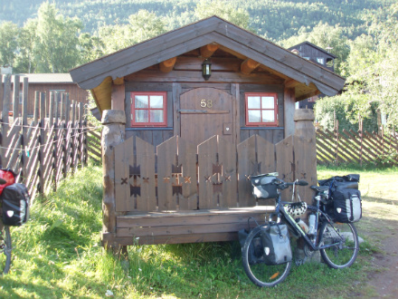
Specially decorated "Stabbur", where food was stored in the old days.
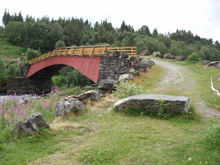
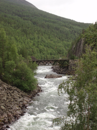
The old bridge at the Tolga
Soon in Tynset second day
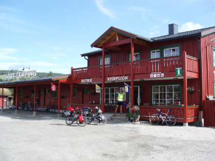
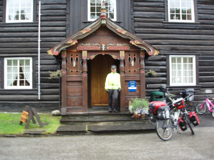
We rented a cabin in Tynset Camping
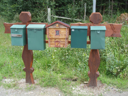
Mailbox-stand
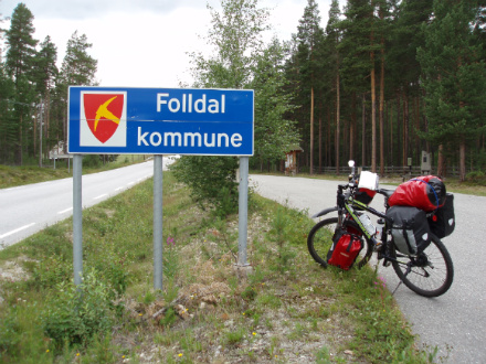
Soon in Folldal third day
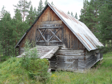
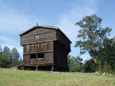
Old "løe" Storage for dried hay.
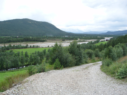
The river Folla
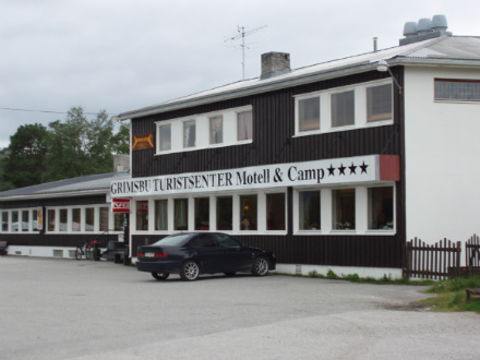
We rented a cabin in "Grimsbu Turistsenter", near Folldal
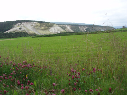
Especially in landscape Folldal
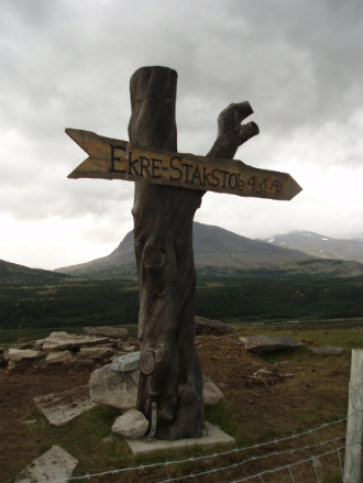
Here is the crossroads, where the road to Grimsdalen begins.
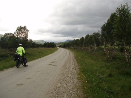
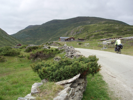
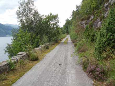
Wonderful to cycle along a less trafficked road.
As a airstrip.
This is one of the longest mountain farm valleys in Norway. Near by the national park, Rondane.
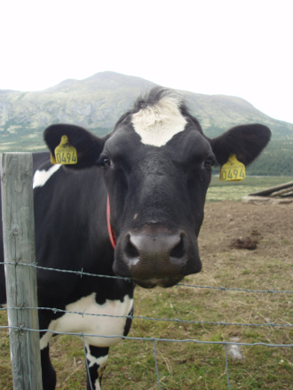
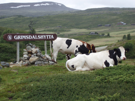
A happy cow we met liked to be photographed.
Along a birch avenue.
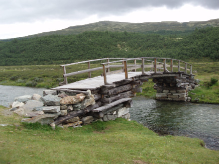
A old bridge by the river Grimsa ,"Uteliggerbro", built in a special way with timber and stones.
Advertising for Freia's milkchocolate?
In order to get their senses, one should walk or cycle in this valley.
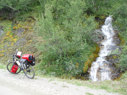
Small and large waterfalls...

A color sight...
...eventually, a great view of parts of the valley.

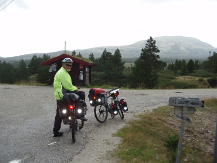
At the route's highest point 1160m
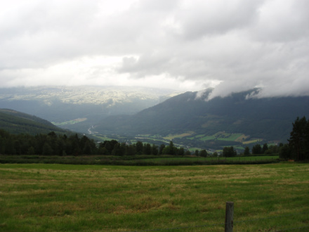
We look down at Dovre
After a steep downhill, in Dovre. We rented a cabin on Toftemo Turiststasjon.
Along the E6 to Sel
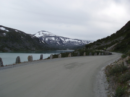
Over Vågårusti
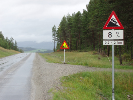
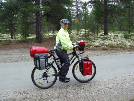
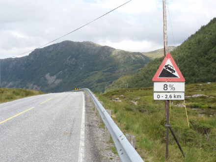
It was a lot of traffic and a lot of climbing, but still the best option.
This was just the worst days in terms of weather, there was rain almost all day.
Along the lake Vågåvatnet.
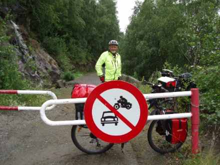
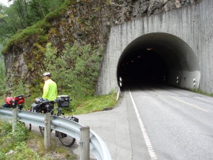
Here was the first tunnel with cycling prohibited on the route, with the danger of landslide on the road outside.
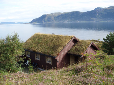
The cabin we rented for Nordal Turistsenter in Lom.
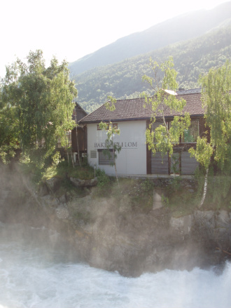
River rumble past "Bakeriet i Lom"
Old "stabbur" in Lom
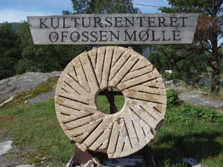
Old millstone from the mill in Ofossen.
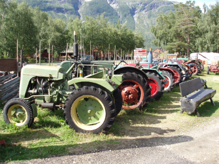
Collection of old tractors.
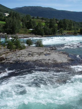
Large water flow on river.
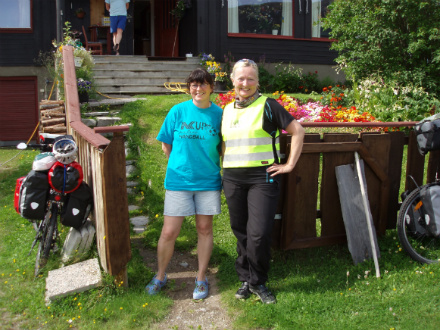
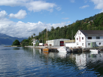
Visited Tone's school friend Ruth in Pollfoss.
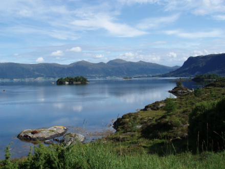
Great nature of Skjåk.
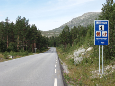
Soon we are in Billingen..a gateway to Reinheimen National park.
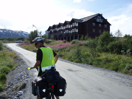
We stopped for a while in Grotli, and had dinner at the hotel.
As we rode further along the old Strynefjell road.
Old smithy from the old days, when people traveled by horseback over the mountains.
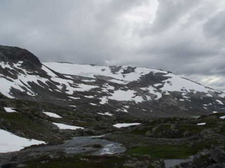
Many lakes and beautiful scenery on top of the mountain.
Old boundary mark between the land areas, such as Norway was divided in the old days.
Stryn Summer ski was just closed for this season.
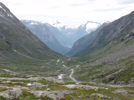
Steeply down from Strynefjellet.
Hjelledalen down in the valley.
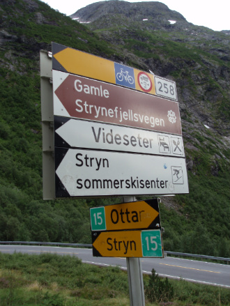
Roadway at the intersection of the new road over Strynefjellet.

The cabin we rented on Folven Camping.
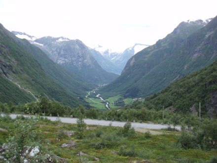
Strynevatnet seen from Hjelle
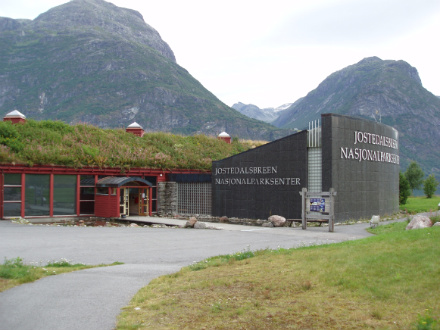
Jostedalsbreen Nasjonalparksenter; a center for the famous glacier in the area.
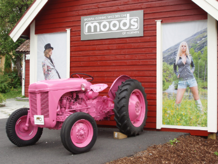
Popular Norwegian fashion design.
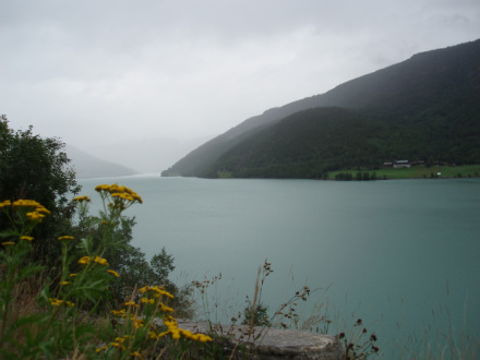
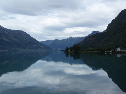
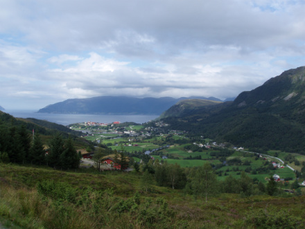
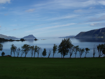
Nordfjord
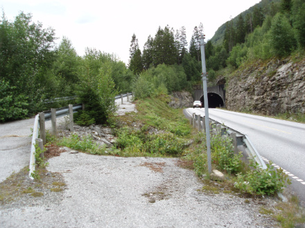
On of the tunnels we had to pass, most of them had old way on the outside.
...like here
...and here
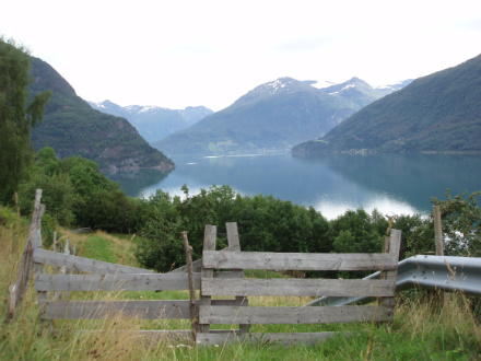
Europe's deepest lake Hornindalsvatn(514m)
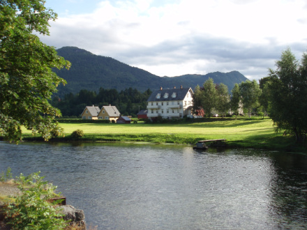
Here we stay in Nordfjordeid, on Skipenes Gard near the picturesque river Eidselva.
Idyllic along the fjord, this is a theme from Stårheim.
There was some traffic between Nordfjordeid and Maurstad.
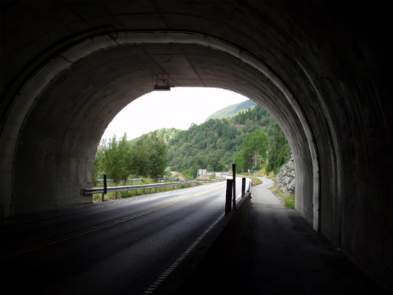
More tunnels, but this was cycling on the inside.
...and here on the outside of another tunnel.
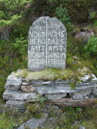
Another boundary mark from the old days.
After long climbs over the mountains from Maurstad, it was nice to just roll down to Åheim.
Åheim
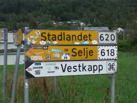
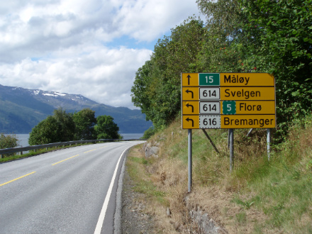
Here, road signs showing the way to the Cape West (Vestkapp)
After a long hilly stage, we came to Stadtlandet. We was struggled to find accommodation in the area, but was eventually rent a cabin on Otneim. We put the bike-bags there and went to Leikanger, where we had dinner before we continued. We had some steep slopes up to Dalskaret, there was the view down to Leikanger.
...and so it continued, the last uphills was about 20%
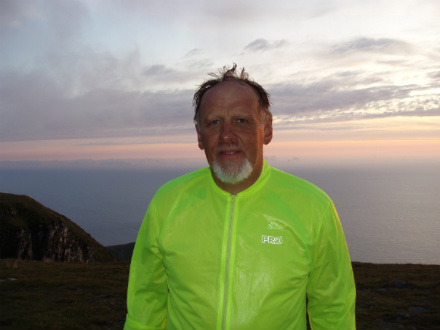
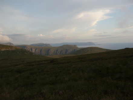
We did it!!! Finally, in the Cape West..and so tired
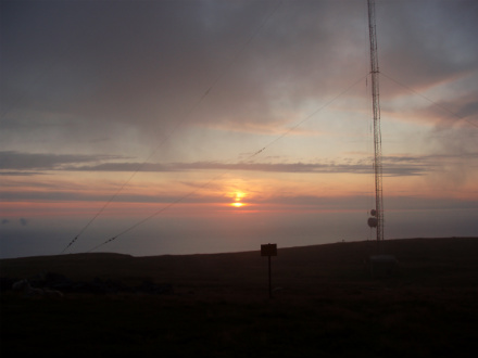
As payment...a beatiful sunset
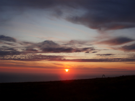
It was really worth it...view towards the North Sea and Atlantic Ocean.
The cabin we rented in Otneim was large and well equipped, but it was not many hours we had to be there.
On the way home last day, here at Sandvika.
We had nice weather the first part of the day.
Here we biked along the Syltefjorden, with views out to Stadtlandet.
From Fiskå we biked over Storeidet to Eidså.

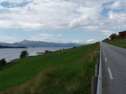
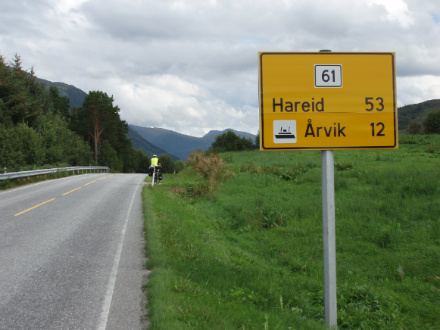
When we got to Syvdefjorden, it had been overcast, but it was still warm and nice weather. We traveled by ferry from Koparnes to Årvik. Continuing to Larsnes, and over the hills to Leikong, and so to Ulsteinvik.
Here was a long uphill again over Hareidlandet, and slow downs to Hareid. From there we traveled by another ferry to Sulesund, near by Ålesund. And was driven home by car from there.